In south-western Victoria, Australia, the Budj Bim Cultural Landscape records how the Gunditjmara people worked with volcanic terrain and wetlands to catch, hold and harvest kooyang, the short-finned eel (Anguilla australis). UNESCO inscribed the landscape on the World Heritage List in 2019. The word “aquaculture” here does not establish modern, closed-cycle hatchery breeding from eel eggs. Reading UNESCO alongside publications from Traditional Owner organisations helps distinguish documented water management from unverified reconstructions. UNESCO National Museum of Australia World Heritage Committee
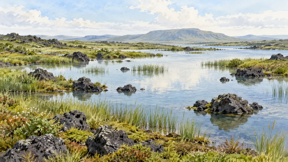
Editorial illustration of a generic basalt wetland, not a photograph of Budj Bim, a surveyed site plan or an archaeological reconstruction.
Landscape and custodians
1. What a living cultural landscape represents
The World Heritage property is not a single pond. It has three serial components: Budj Bim in the north, Kurtonitj in the centre and Tyrendarra in the south. Lava flows, rocky ground, wetlands, lakes and modified channels form an interconnected setting. UNESCO describes at least 6,600 years of deliberate management of local water systems; it does not say that every stone wall visible today has exactly the same age. UNESCO
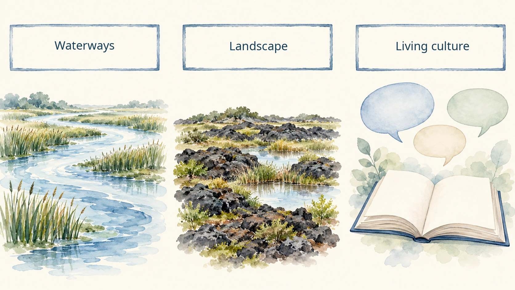
The site is more than a relic of a vanished technology. Inscription under criteria (iii) and (v) recognises both the water-engineering landscape and the Gunditjmara knowledge maintained through oral transmission, practice and a continuing relationship with Country. Physical features and the people responsible for them belong in the same account. World Heritage Committee
2. Who speaks, documents and cares for this place
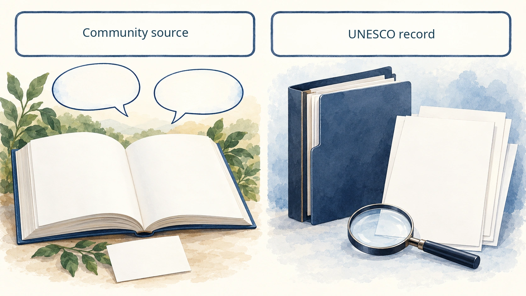
These sources perform different roles. UNESCO's property record and the World Heritage Committee's 2019 decision set out the listed components, Outstanding Universal Value and protection and management framework. The public Budj Bim Cultural Landscape website explains the places and names organisations involved, including Gunditj Mirring Traditional Owners Aboriginal Corporation and Winda-Mara Aboriginal Corporation. World Heritage Committee Budj Bim
World Heritage status does not make every part of cultural knowledge public property. Gunditj Mirring publishes research principles calling for ethical, culturally responsive work with Gunditjmara people and on Gunditjmara Country. This article stays within information those bodies have made public. It neither infers restricted techniques and ceremonies nor invents community permission. Gunditj Mirring
Using water and fish
3. Directing water to catch and hold eels
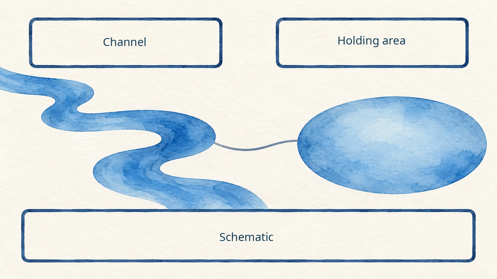
According to UNESCO, Gunditjmara people used locally available volcanic stone to build or adapt channels, weirs and dams. By managing water flow, they could trap, hold and harvest kooyang moving seasonally through the system. This is management of water, habitat and fish together; it is not a production diagram showing eels bred artificially from eggs in standardised tanks. UNESCO National Museum of Australia
The illustration's channel-to-holding-area connection simplifies that documented function only. It is not evidence that a particular installation carried water in one fixed direction, or maintained a specified depth. Site-level archaeological records are needed before asserting how an individual structure operated.
4. Connecting wetter and drier conditions
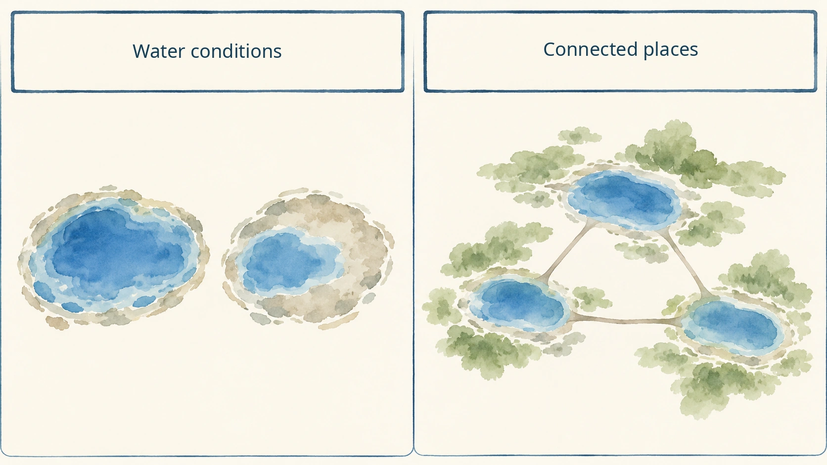
Changes in seasonal water conditions mattered. The public Tyrendarra page on the Budj Bim Cultural Landscape website explains, on the basis of modelling, how winter floodwater could be channelled into swampy depressions and retained with dams into the dry summer. That is an interpretation of the described Tyrendarra complex, not a monthly water-level chart or a verified route for individual eels across the whole World Heritage property. Budj Bim – Tyrendarra
Wetter and drier scenes therefore represent connected conditions within a managed landscape, not separate systems. Channels and natural volcanic features could help people catch and hold fish through environmental change. The published sources do not justify assuming identical rainfall, eel abundance or yields every year. UNESCO
Not the same as modern eel breeding
5. Aquaculture is not a synonym for artificial reproduction
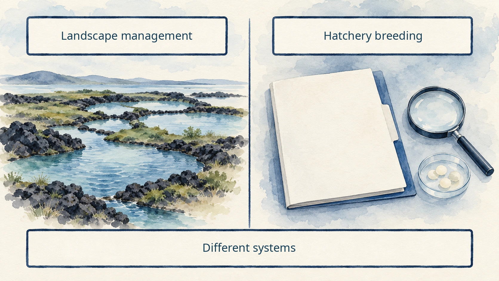
In the World Heritage documents, “aquaculture” includes landscape-scale food management: altering wetlands and channels to capture, hold and harvest kooyang. UNESCO For example, artificial reproduction of Japanese eel can involve collecting eggs and sperm from broodstock, fertilising the eggs and hatching larvae. Raising those larvae into hatchery-produced juveniles for aquaculture is a separate rearing stage. MAFF / AFFRC Both concern aquatic food resources, but they do not describe the same production system.
More precisely, complete-cycle breeding raises artificially hatched fish to broodstock and obtains another generation from them, closing the life cycle in captivity. Hatching eggs or using recirculating tanks alone does not establish this. MAFF / AFFRC
The public records establish ancient hydrological management, eel holding and continuing knowledge—not artificial reproduction of eels from eggs at ancient Budj Bim. The species named for this landscape is Anguilla australis. Evidence about the Japanese eel, Anguilla japonica, and its modern farming cannot simply be transferred to this species or place.
6. Leave undocumented details unknown
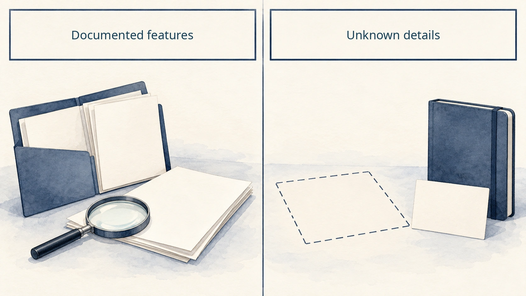
The cited World Heritage Committee decision identifies channels, weirs, ponds and linked water features, but it does not provide the cross-section of every stone structure, exact water depths, fish counts or a universal operating sequence. An undescribed detail must remain unknown, rather than being filled in because it would make a vivid drawing. World Heritage Committee
Every image in this article is a conceptual illustration. It helps readers follow relationships between water, places and sources. Buildings, partitions, fish positions, engineering dimensions and terrain details drawn in the images must not be treated as photographs, surveyed measurements or archaeological reconstructions of Budj Bim. No unpublished community knowledge or ritual is visualised.
Reading cultural heritage responsibly
7. Check the evidence for each named place
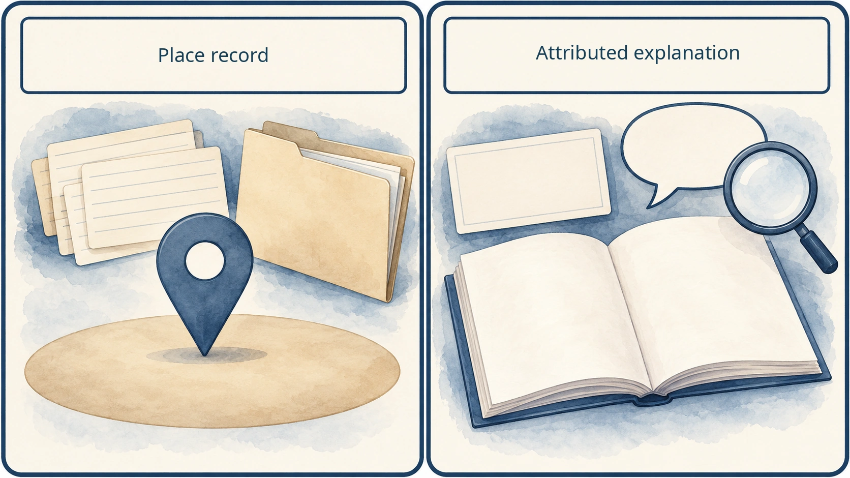
“Ancient eel farming” is too broad unless it is tied to a named place and an attributed source. For example, the Kurtonitj page describes a 70 m constructed channel connecting two wetlands, lined with basalt walls in places. The Tyrendarra page describes 18 stone dams or weirs and seven excavated channels within its specified lava-flow area. These figures belong to those particular descriptions; they are not totals for the entire World Heritage property. Budj Bim – Kurtonitj Budj Bim – Tyrendarra
Dates require similar care. Gunditj Mirring's history of restoring Tae Rak (Lake Condah) records that a larger drainage channel constructed after the 1946 floods was completed in 1954, and a new restoration weir was finished in 2010. A modern intervention to restore water flow does not establish that every ancient feature survived unchanged. Location, date and source must travel together. Gunditj Mirring
8. Visitors and a culture that continues
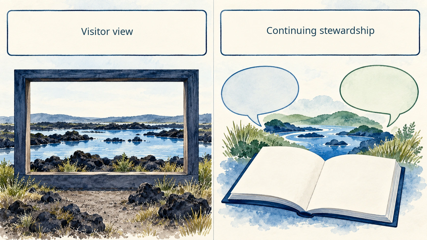
A visitor can see stonework and water, but that is only one layer of the cultural landscape. Kurtonitj's public visitor information describes guided-tour-only access. Conditions may change, so check current guidance from the relevant custodians rather than presuming unrestricted entry or photography. Budj Bim – Kurtonitj
For the community, responsibilities for Country, water and passing on knowledge continue. A UNESCO assessment, a Traditional Owner organisation's public explanation and an individual visitor's impressions are different kinds of evidence. No field visit or interview was conducted for this article, and no restricted oral history or ceremony has been reconstructed. A sound introduction to Australian eel culture begins by identifying who has made each claim public. Budj Bim Gunditj Mirring
Sources checked on 12 November 2026. Site-specific figures have not been generalised beyond their documented locations.
Related articles